4th route: Laguna: Aquileia, Grado and Isola della Cona
Map

Characteristics
Length: 84,74 km
Estimated Time: 3 hours 30 minutes (excluding stops)
Type: Road (difference in altitude 175 m)
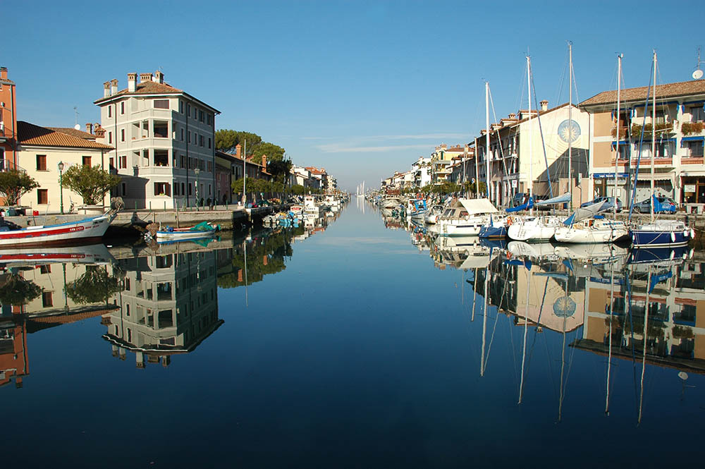
Historical places: Aquileia - Grado - Isola della Cona (the route can be shortened by 30 km by omitting Isola della Cona, reducing the time by 70 minutes).
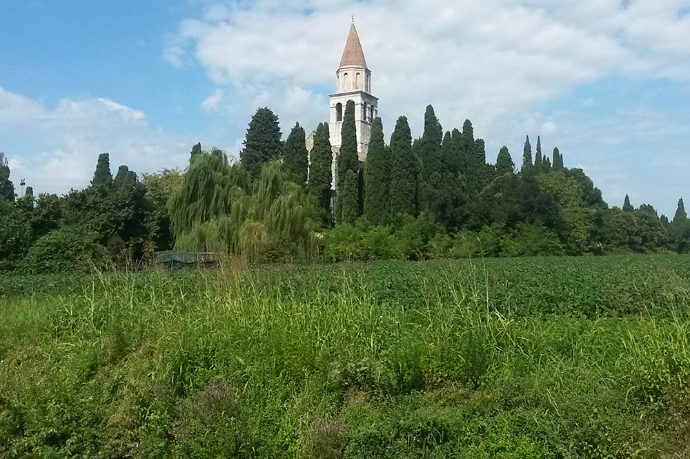
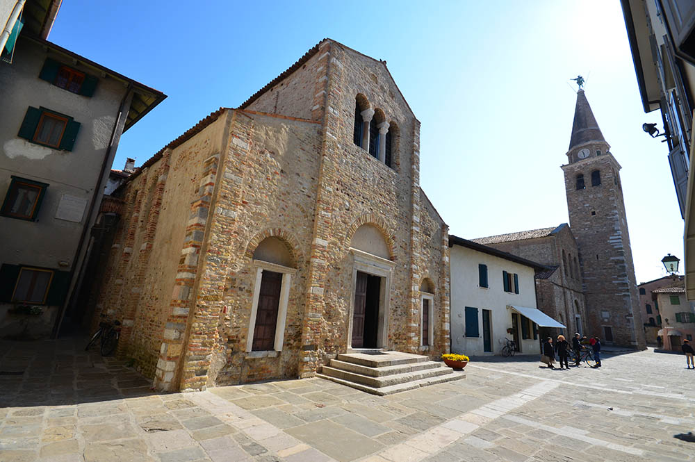
The 4th route is almost entirely on cycle paths and you can choose between two routes that lead to Aquileia and Grado. The first is the Alpe Adria cycle path which from Palmanova follows the state road in parallel, passing through Privano, Strassoldo, Cervignano, Terzo di Aquileia, Aquileia, Belvedere and Grado.
The second, certainly quieter and less used, is the cycle path that runs from Palmanova through the villages of Visco, Joannis, Aiello, Perteole, Ruda, San Nicolò, Villa Vicentina, Fiumicello, San Lorenzo, Aquileia Sud, Belvedere and Grado. The cycle path is replaced by the provincial road only for some very short stretches.
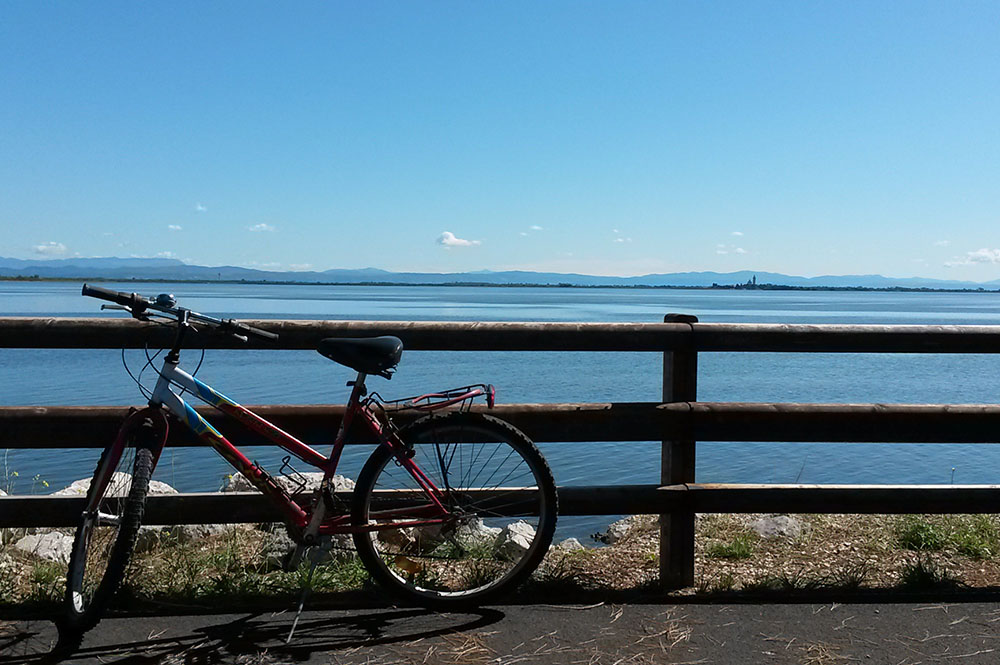
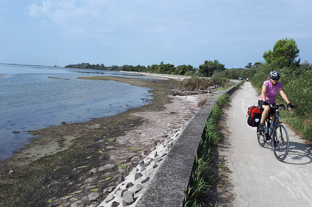
The most spectacular stretch is undoubtedly the route alongside the lagoon that leads from Belvedere to Grado. For 5 kilometres the view sweeps over the lagoon's waters, with an extraordinary view of Isola di Barbana where the dome and bell tower of the ancient sanctuary stand out.
The route from Grado continues towards Isola della Cona, an important wildlife area at the mouth of the Isonzo river.
If the route seems too long and demanding for your abilities, the last stretch from Grado to Isola della Cona could be omitted and the return would follow the route back to Aquileia, then along the cycle path that was not covered in the morning.
The sundials of Aiello - The Museum of Rural Life - The Landini Tractor Museum - The four mill walks - Aiello's surroundings by bike - On horseback in Aiello - The forest of donkeys - Palmanova Outlet Village - Tennis River Sporting Club AD - Golf & Country Club - Sailing